Story
Glasgow Lakes Lookoff was the most challenging trails I walked on for this trip. It is recommended to have footwear you don’t mind getting wet and a hiking stick.

Paquets Lake
I started my trip at 10:45AM with the weather at 3C (37F). The trail starts off at Paquets Lake. I love the color composition when I was taking a picture of the lake. When I resumed my walk on the trail, I noticed it was very muddy. While progressing through the trail, the mud only became worse. I found out the trail had been flooded with water. Even still, I didn’t let this discourage me and continued on.

Flooded Trail
When the water started to die down, I assumed this would be the end walking into the water. But boy I was wrong. Not only was the water flowing down hill on a steep terrain with boulders, but it began to snow. This was the point I wanted to give up even though I had only been walking for an hour. The trail map said it takes three to four hours to complete the whole trip. However, I decided to press on.

Water flowing downhill along Glasgow Lakes Look-off Trail

Glasgow Lakes Look-off Trail covered in snow
Eventually the trail started to level off. When I approached the top of the mountains there was snow. This day was beginning to become an adventure in itself. After exploring the trail for two and a half hours, I decided to walk back. I was not able to finish the whole trail because there was less daylight during the autumn and wanted to return to the car before dark. I had managed to get back just before the sun started to set. Despite being a challenging day, I managed to capture a lot of amazing pictures and videos.
![]()
Review the details below to see where I walked, the distance and download my GPS tracks to relive my experience.
Max elevation: 433 m
Min elevation: 263 m
Total Time: 04:54:15
Park Info
Cape Breton Highlands National Park is known for its spectacular highlands and ocean scenery. Steep cliffs and deep river canyons carve into a forested plateau bordering the Atlantic Ocean. One third of the Cabot Trail, a world-famous scenic highway, runs through the national park along the coasts and over the highlands.
The cool, maritime climate and rugged landscape permit a unique blend of Acadian, Boreal and Taiga habitats, including old-growth forests of international importance.
Cape Breton Highlands National Park
Ingonish Beach, NS
Canada
B0C 1L0
 http://www.pc.gc.ca/eng/pn-np/ns/cbreton/index.aspx
 902-224-2306
 cbhnp.info@pc.gc.ca
 www.facebook.com/CBHNP
 www.twitter.com/ParksCanada_NS
Glasgow Lakes Look-off
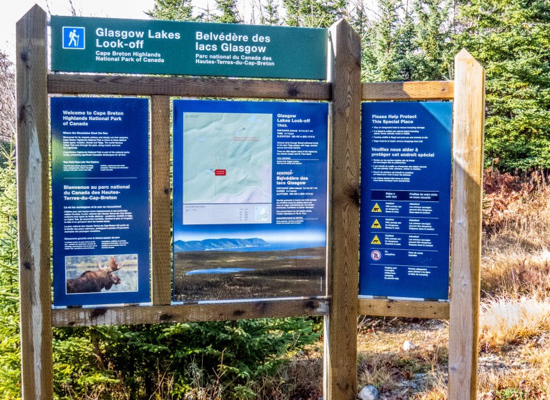
From Paquette Lake, follow an old fire access trail across windswept barrens, over hills and through stands of softwood trees. Then follow a short side trail to the top of Glasgow Lakes Hill where you can see for miles! This is a great trail to give you a feel for the “highlands plateau”. This flat area at the top of the park has vegetation similar to the northern Taiga with stunted trees, huckleberries and bracken ferns. The panoramic view of the open barrens and the ocean are unique.
Length: 9.2 km (5.7 mi) return
Elevation: 260 – 460 m (850 – 1,510 ft)
Time: 3 – 4 hours
Significant Features: Steady climb. Rugged sections. Trail very wet during some seasons.
Trailhead: Take the Paquette Lake road and park at the lake
GPS Co-ordinates for Trailhead (in decimal degrees): Lat: 46.834629 Long: -60.434124

Glasgow Lakes Look-off Trail Map
Driving Directions

Trail info courtesy of Parks Canada
Driving Directions
Trailhead: Take the Paquette Lake road and park at the lake